This function matches the simulated cloud so that it is on the same extent and projection as the original raster
Arguments
- raster
original raster to match to.
- cloud
simulated cloud
- trace
will show some feedback if needed.
Examples
library(raster)
plot(example_raster)
 cloud <- simulate_cloud(phi = 0.1, seed = 2023)
# \donttest{
example_cloud <- match_rasters(example_raster, cloud, trace = TRUE)
#> class : Extent
#> xmin : 0.5
#> xmax : 70.5
#> ymin : 0.5
#> ymax : 70.5
#> class : Extent
#> xmin : 426885
#> xmax : 664215
#> ymin : 7019185
#> ymax : 7231015
#> [1] NA
#> [1] "+proj=utm +zone=55 +south +datum=WGS84 +units=m +no_defs"
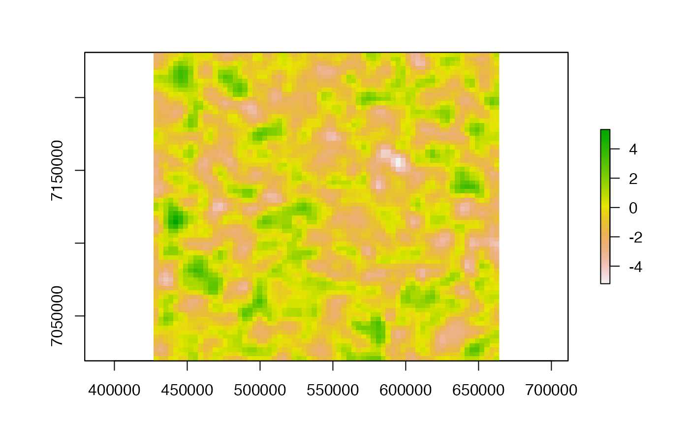
plot(example_cloud)
cloud <- simulate_cloud(phi = 0.1, seed = 2023)
# \donttest{
example_cloud <- match_rasters(example_raster, cloud, trace = TRUE)
#> class : Extent
#> xmin : 0.5
#> xmax : 70.5
#> ymin : 0.5
#> ymax : 70.5
#> class : Extent
#> xmin : 426885
#> xmax : 664215
#> ymin : 7019185
#> ymax : 7231015
#> [1] NA
#> [1] "+proj=utm +zone=55 +south +datum=WGS84 +units=m +no_defs"
plot(example_cloud)
 # }
# }